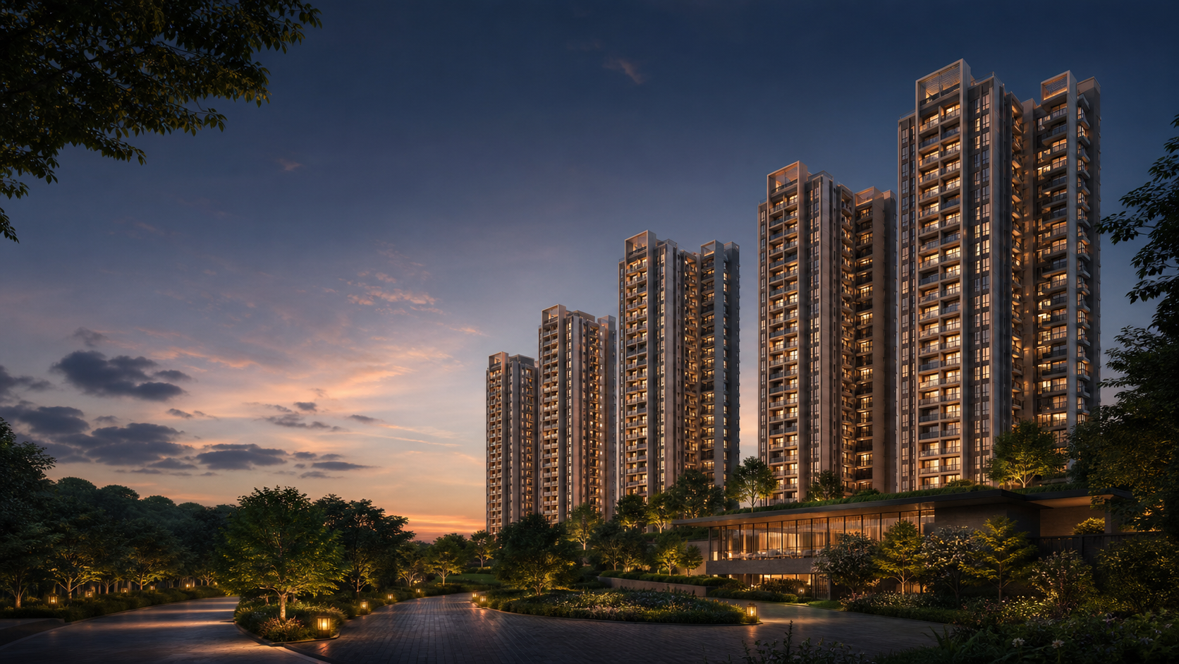
Brigade Banashankari is associated with Uttarahalli Village and Hobli in Bengaluru South Taluk. The location places the proposal in an established South Bengaluru residential belt, with access questions shaped by each household's regular journeys rather than one headline landmark. The available location schedule refers to Kengeri railway station, Kempegowda International Airport, Uttarahalli Lake and Turahalli Forest. These points help describe the wider setting: regional rail access to the west, the airport journey across the city, and prominent lake and forest landscapes closer to Uttarahalli. Actual road routes and travel times vary by origin, time and traffic. A useful location review starts with work, school, healthcare and daily shopping. Compare outward and return journeys at realistic weekday times, then look closely at the final approach on a visit. The map opens automatically at the project reference point; the Location page adds practical guidance for route choice, entrance confirmation and nearby environmental context.
Nature
| Destination | Locality | Distance | Route |
|---|---|---|---|
| Turahalli Forest | Turahalli Forest, Bengaluru | ~1.5 km | Driving route from the mapped Uttarahalli reference point |
| Uttarahalli Lake | Uttarahalli Lake, Bengaluru | ~3.4 km | Driving route from the mapped Uttarahalli reference point |
Healthcare
| Destination | Locality | Distance | Route |
|---|---|---|---|
| Gleneagles BGS Hospital | Gleneagles BGS Hospital, Kengeri | ~5.1 km | Driving route from the mapped Uttarahalli reference point |
Retail
| Destination | Locality | Distance | Route |
|---|---|---|---|
| Forum South Bengaluru | Forum South Bengaluru | ~5.9 km | Driving route from the mapped Uttarahalli reference point |
Employment
| Destination | Locality | Distance | Route |
|---|---|---|---|
| Global Village Tech Park | Global Village Tech Park, Bengaluru | ~6.1 km | Driving route from the mapped Uttarahalli reference point |
| Electronic City | Electronic City, Bengaluru | ~29 km | Driving route from the mapped Uttarahalli reference point |
Education
| Destination | Locality | Distance | Route |
|---|---|---|---|
| Delhi Public School Bangalore South | Delhi Public School Bangalore South | ~7.3 km | Driving route from the mapped Uttarahalli reference point |
Metro
| Destination | Locality | Distance | Route |
|---|---|---|---|
| Kengeri Bus Terminal Metro Station | Kengeri Bus Terminal Metro Station | ~7.4 km | Driving route from the mapped Uttarahalli reference point |
Railway
| Destination | Locality | Distance | Route |
|---|---|---|---|
| Kengeri Railway Station | Kengeri Railway Station | ~8 km | Driving route from the mapped Uttarahalli reference point |
Airport
| Destination | Locality | Distance | Route |
|---|---|---|---|
| Kempegowda International Airport | Kempegowda International Airport, Bengaluru | ~56.5 km | Driving route from the mapped Uttarahalli reference point |
Approximate Google Maps driving distances observed 27 August 2026 from the mapped Uttarahalli reference point.
Plan a location check
Confirm the current entrance and compare the routes that matter to the household or business.